Cropwell Bishop and Owthorpe
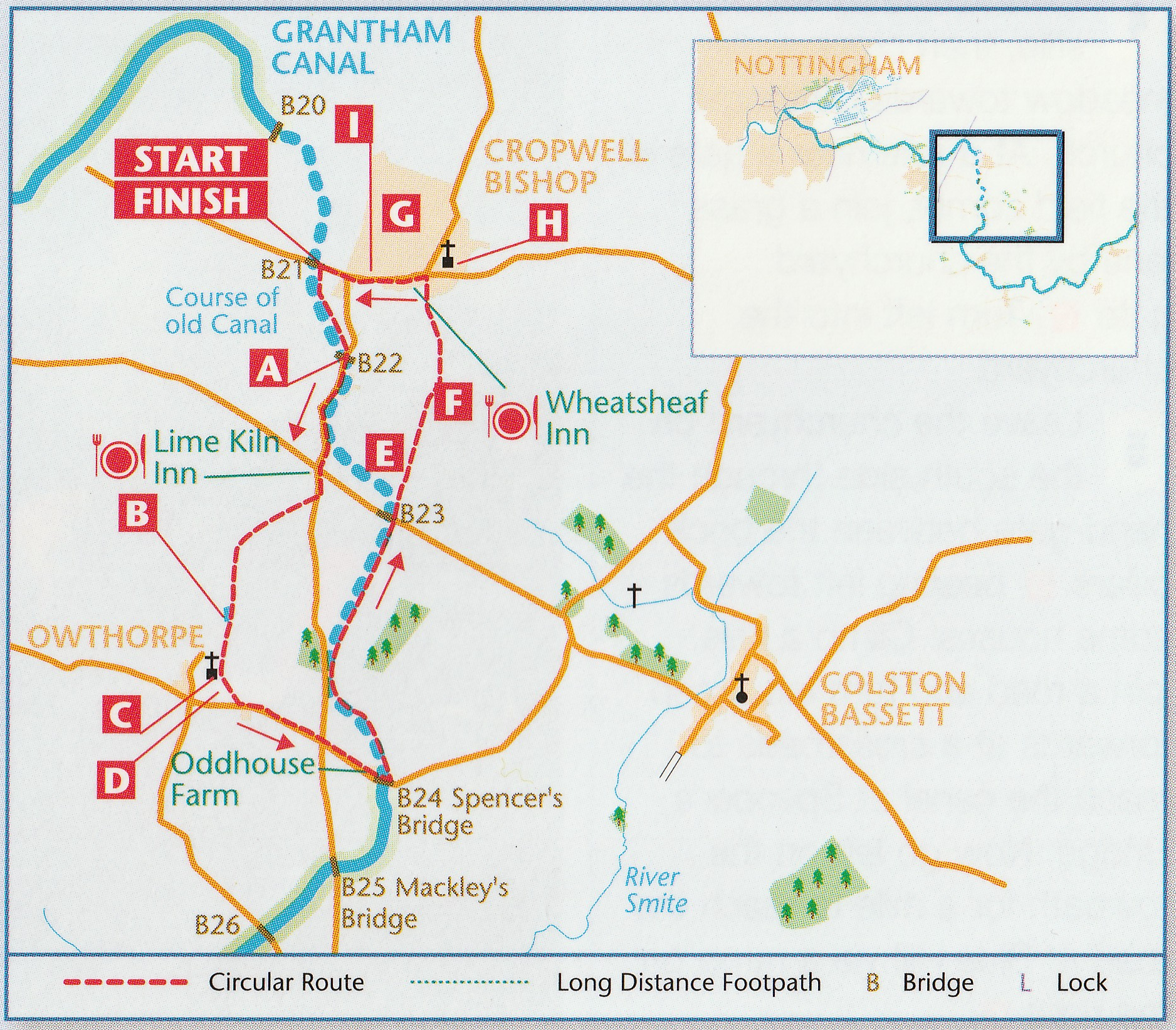
Car Parking – Cropwell Bishop playing field car park
Distance – 5 miles / 8 kilometres
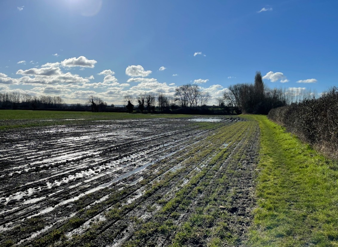
Terrain – Minor roads, towpath, meadows and short sections on arable fields.
OS Explorer Map – No. 260 Nottingham
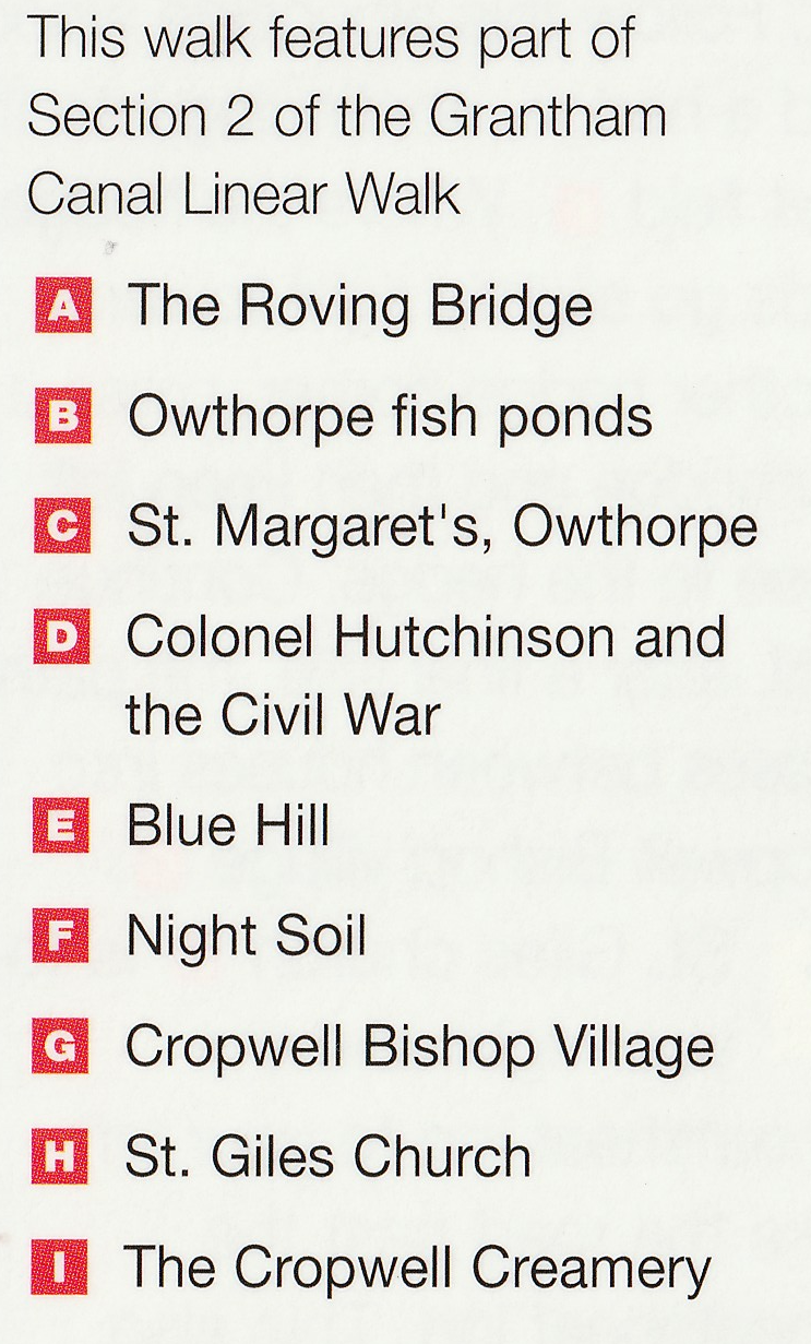
Park in the car park beside the playing field -what3words address ///daydreams.aimed.swoop. The car park also serves the memorial hall, although this is fenced off and might be having work carried out. Alternatively, park in a side road.
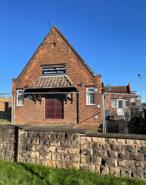
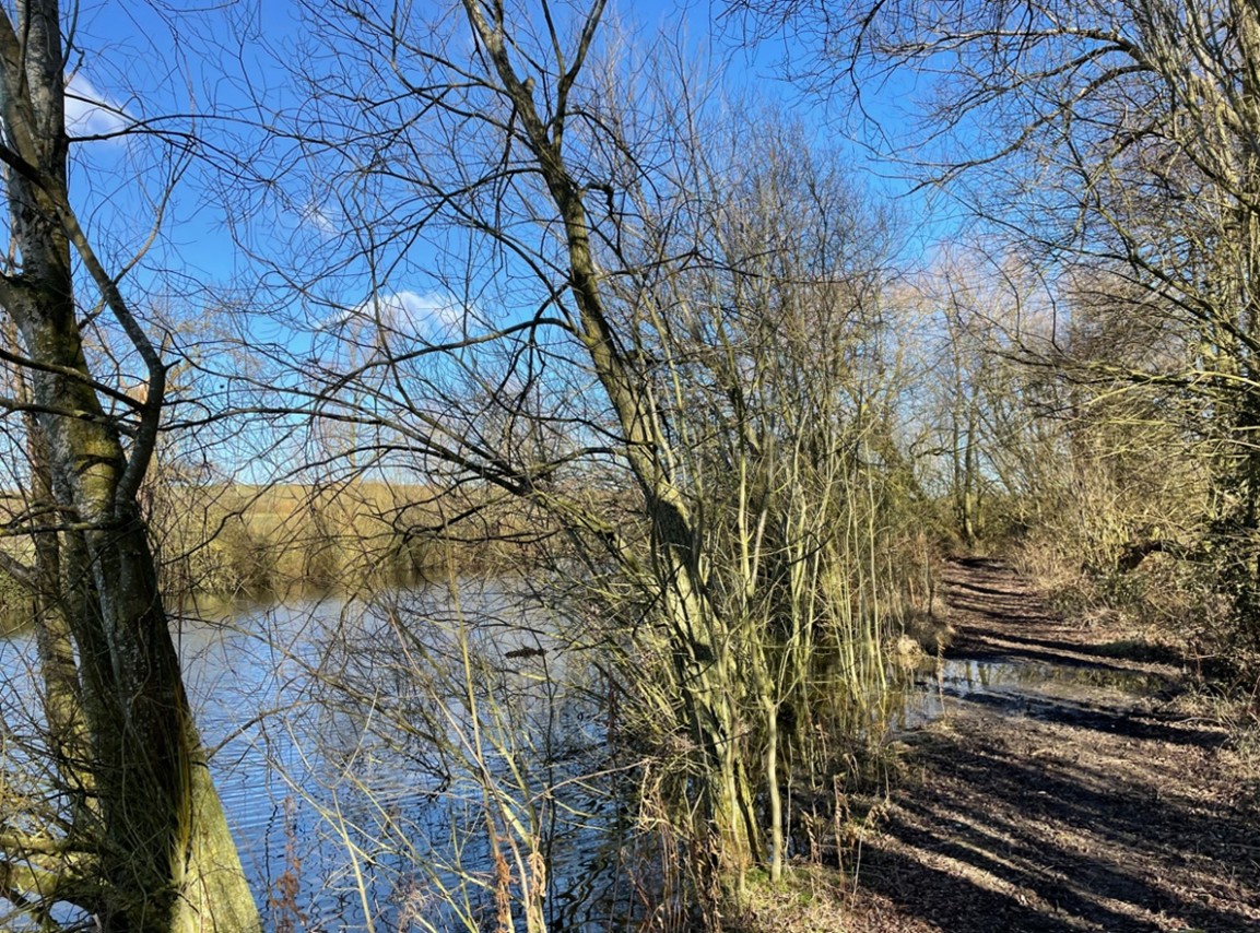
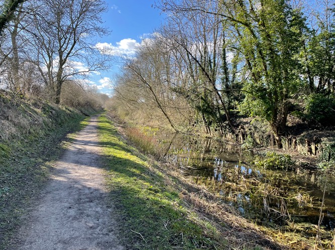
From the car park, turn right and go up the road about 100 metres to reach the canal. Cross the road and follow the towpath to the next road, formerly the site of the only roving bridge on the canal. This section of canal is currently dry.
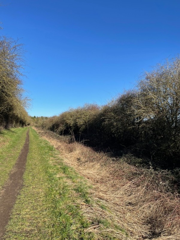
Leave the canal and turn right onto a road. Follow the pavement for about 50 metres until it runs out, then turn right, through a wooden gate, onto a footpath which runs parallel to the road.
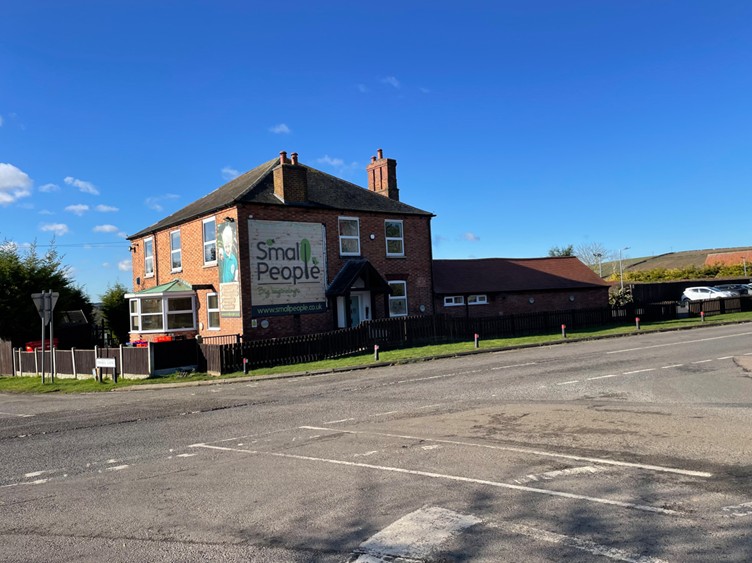
Walk along this footpath for about a quarter of a mile until you see the crossroads. Exit the path and cross the road passing the nursery on your right (formerly the Lime Kiln Inn).
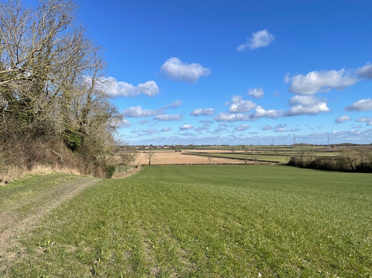
Continue down the road for about 100 metres looking for the footpath sign on the right, cross the stile and enter a farmyard. Look ahead for the yellow topped post indicating the direction to take to a gap in the fence (ignore the rickety stile). Go through the gap to enter a field then veer slightly left to cross a meadow to a wide gap in the hedge opposite (look for the yellow topped post).
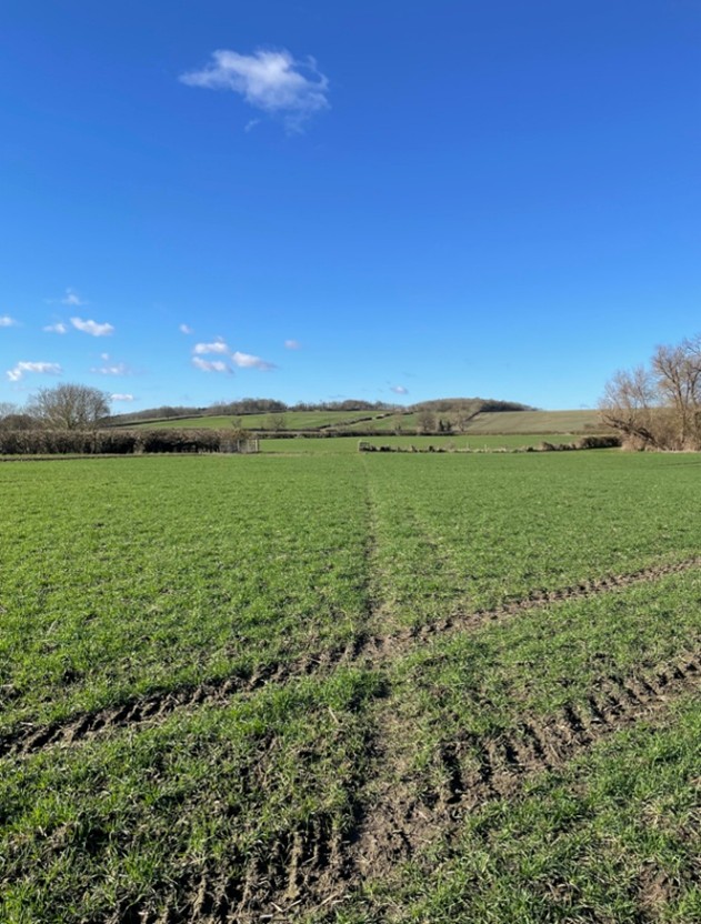
Enter the field and cross aiming for the gap in the hedge. Cross a couple of planks over the ditch into field four.
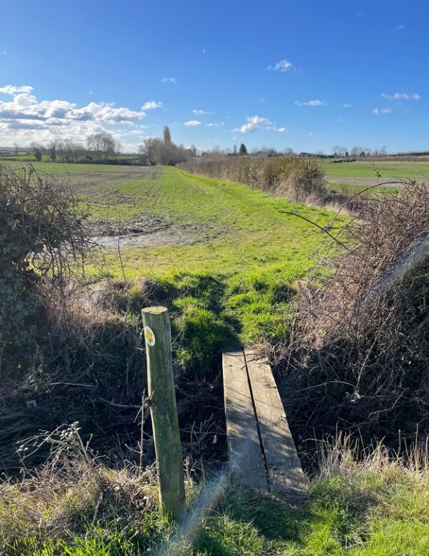
Having crossed the planks keep ahead with the hedge on your right and follow the path to the wooded area at the end of the field. Enter the wooded area and follow the path with the pond on your right through to the next field.
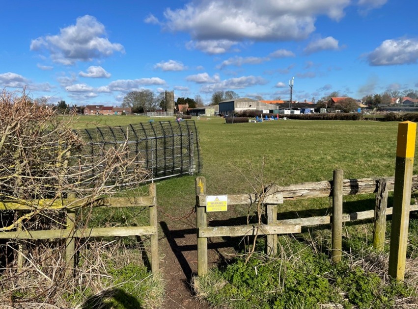
The way ahead lies to the left of the bungalow ahead – look for the yellow topped signpost. Go past the bungalow and across the stile into a field adjacent to the church cemetery. With the cemetery on your left, it’s a short distance to a metal gate. Pass through the gate and turn left through a wooden gate into the churchyard of St Margarets, Owthorpe.
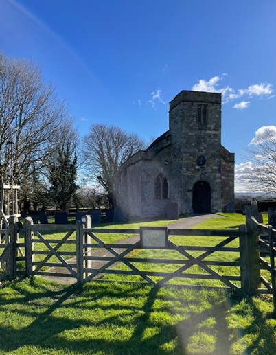
Our exit lies to the right-hand side of the church through the kissing gate at the brick pillars.
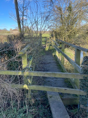
Head across the field towards the houses, then cross two stiles and a wooden bridge to reach a road by the Owthorpe fish ponds.
Turn left here and follow the road for a few hundred metres to a crossroads. Go across the road following the sign for Colston Bassett. Continue down the road for another hundred metres, passing Odd House farm on your left, until you reach the canal at Spencers bridge.
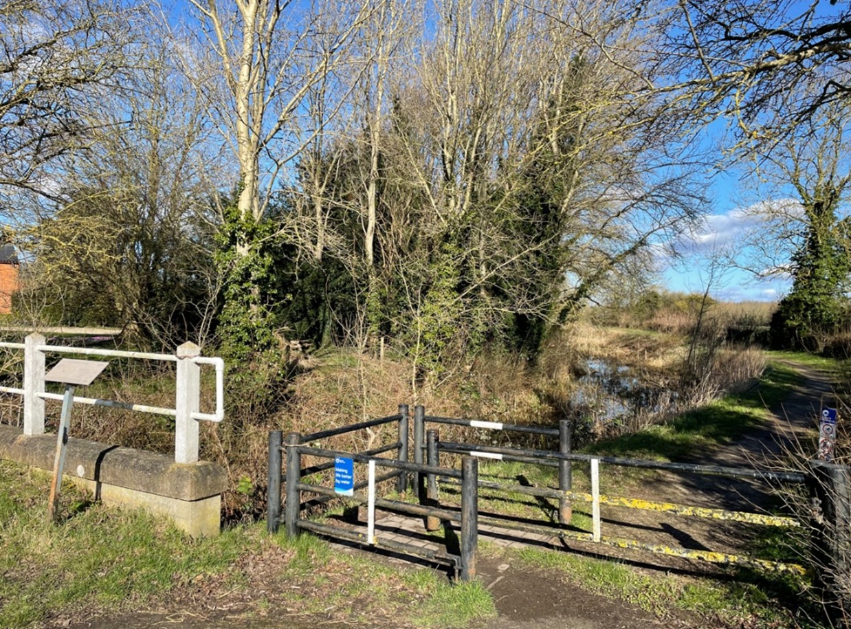
Go left onto the towpath and continue for a mile to reach the road via a ramp on the right.
Turn left along the road for about 10 metres. You will see a footpath signpost to Cropwell Bishop on the opposite side of the road. Follow this path with the hedge on your left and Cropwell Bishop in the distance.
Follow the hedgerow into a second field and when the hedgerow finishes head slightly right towards another hedge corner and cross a wooden bridge into a field. Keep left close to the hedge and look for the yellow topped post. Go through the gap in the fence (replace the chain) and enter a field which is sometimes used for horses.
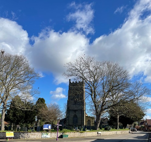
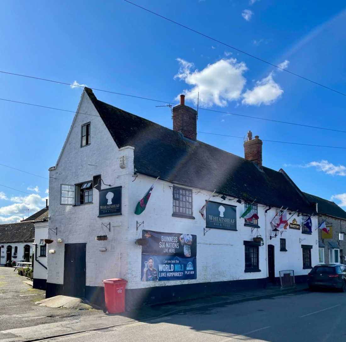
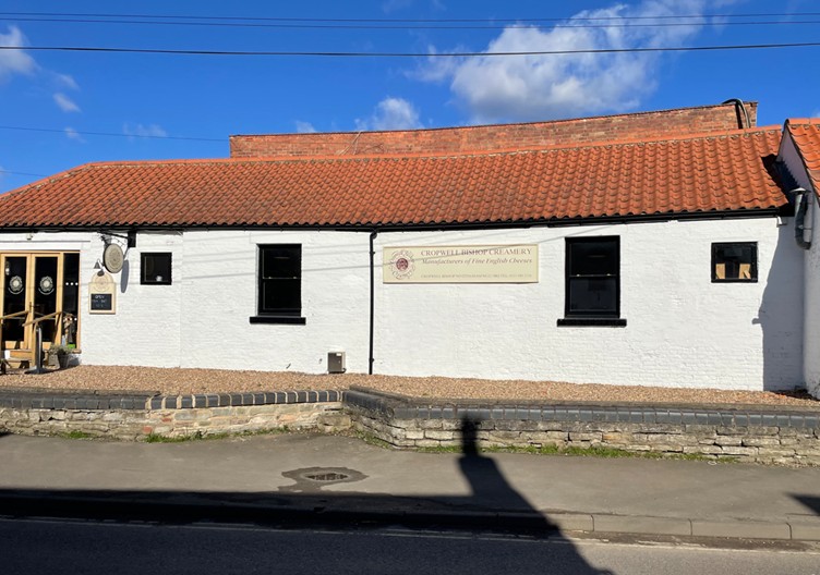
Keep left through the field to cross a stile at the end to a track between houses to a road. Turn left and walk through the village passing St Giles church, The Wheatsheaf Inn and the Cheese factory before arriving at the start point.