Hickling Basin to Hose
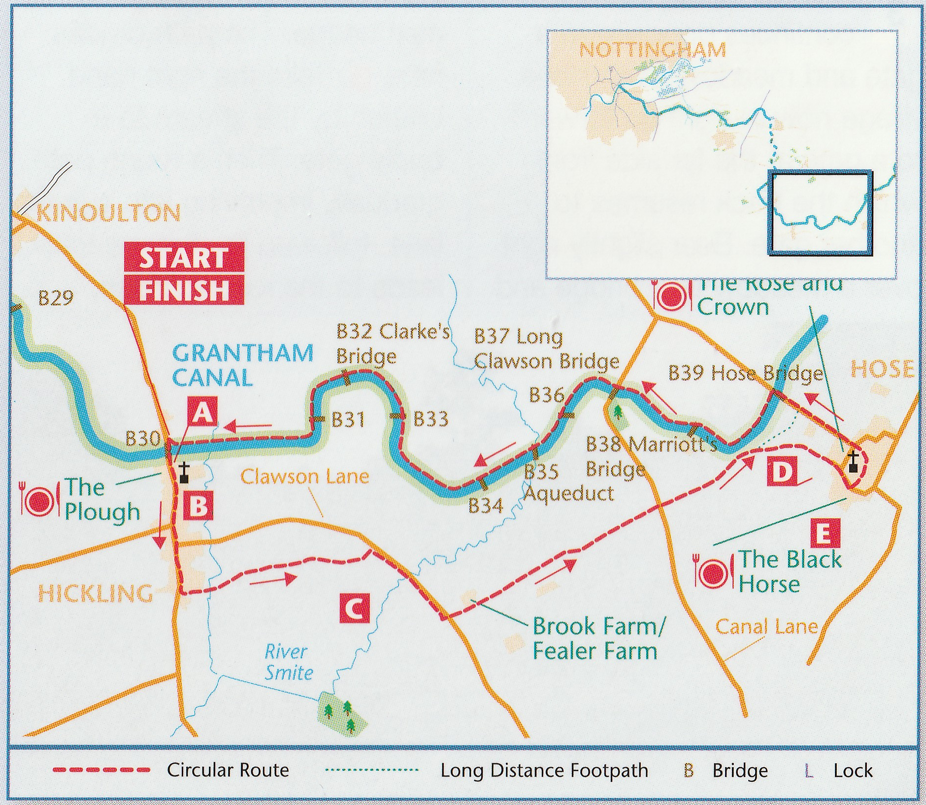
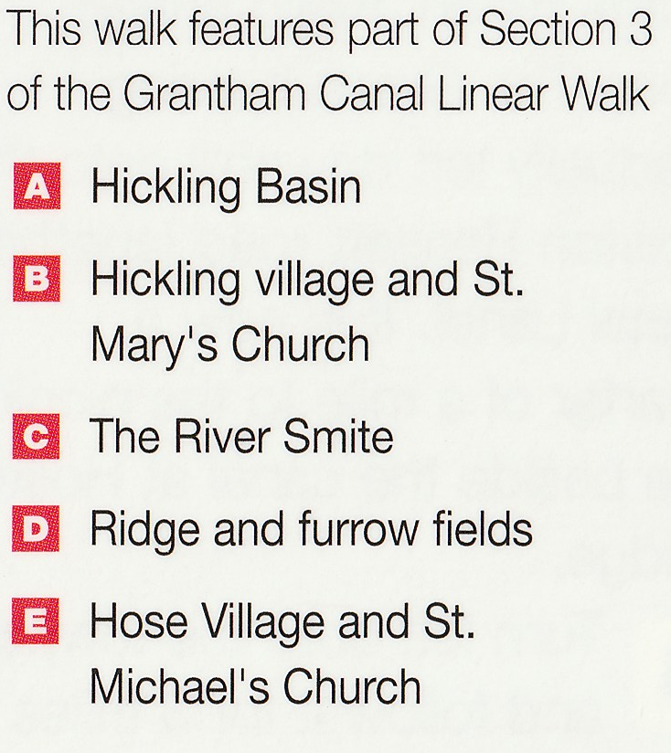
Car Parking – Hose Bridge, Clawson Bridge or Hickling
Distance – 8 miles / 13 kilometres
Terrain – Level walking, meadows and arable fields with rough ground underfoot on bridleways. Easy towpath return.
OS Explorer Map – No. 246 Loughborough and No. 260 Nottingham
This walk starts at Hickling basin, but can also be started from Hose Bridge or Clawson Bridge
Car parking, if you would prefer to start the walk other than at Hickling:
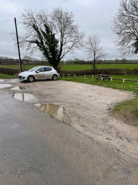
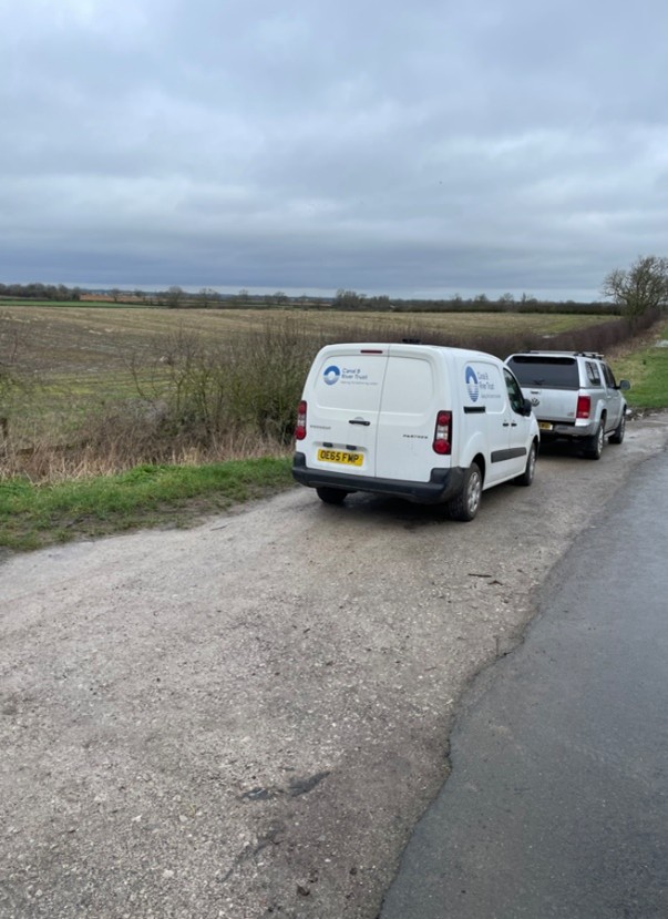
1. B39 Hose Bridge – by the picnic area What3Words location ///spaceship.spices.ashes
2. B37 Small area opposite white cottage at Clawson bridge ///damage.scorecard.guess
3. Kerbside parking in Hickling- its less busy away from the basin area.
Route finding – It is highly recommended to follow the appropriate OS map on this walk when walking across the fields.
Path Diversion
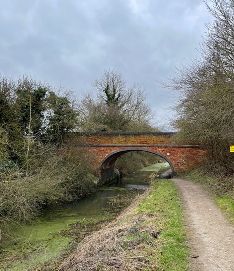
Be aware that there is a ‘permanent’ path diversion prior to Long Clawson Bridge due to the bridge being quite low. It is possible to crawl under the bridge, but the diversion is the safest option and less painful on the knees.
The diversion starts at bridge 38 Marriotts Bridge and involves proceeding up the farm track to the tarmac road then turning left to walk along to Long Clawson bridge.
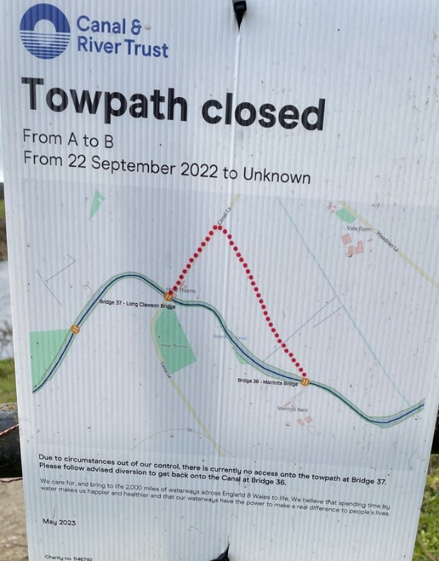
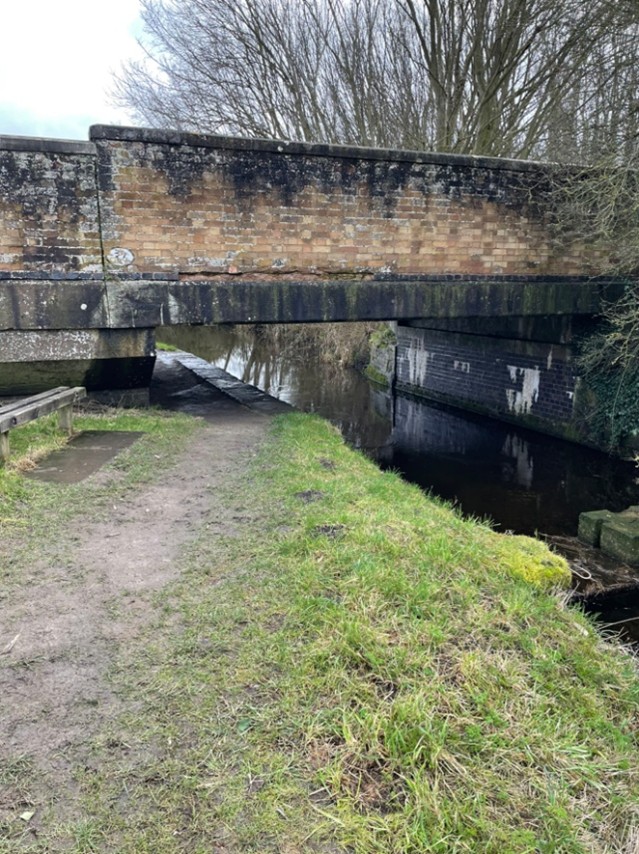
The low Long Clawson bridge
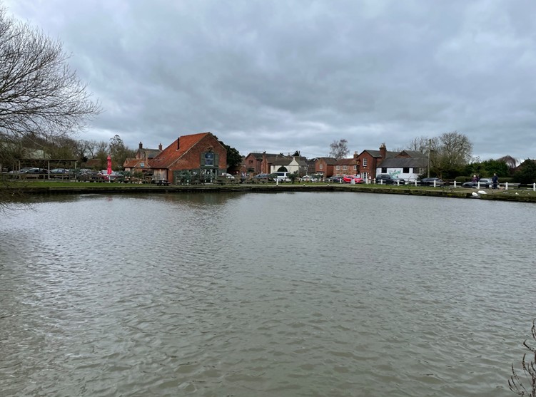
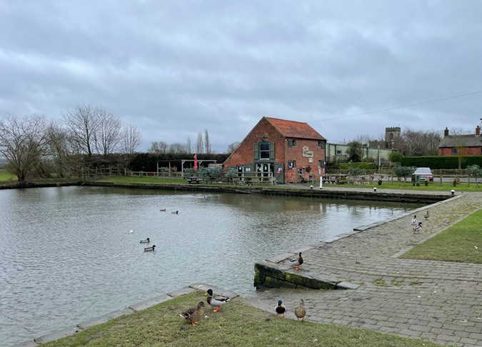
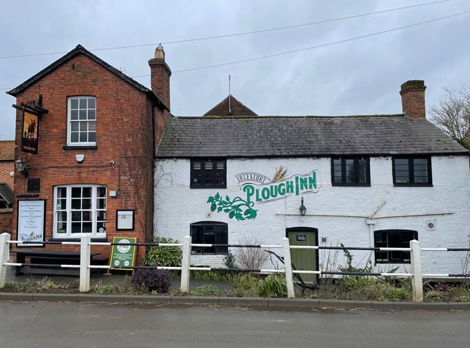
The walk begins and ends at the basin at Hickling. Conveniently located there is the Old Wharf Café and the Plough Inn, both popular watering holes.
With the basin on your left follow the road through the village past the church and village hall.
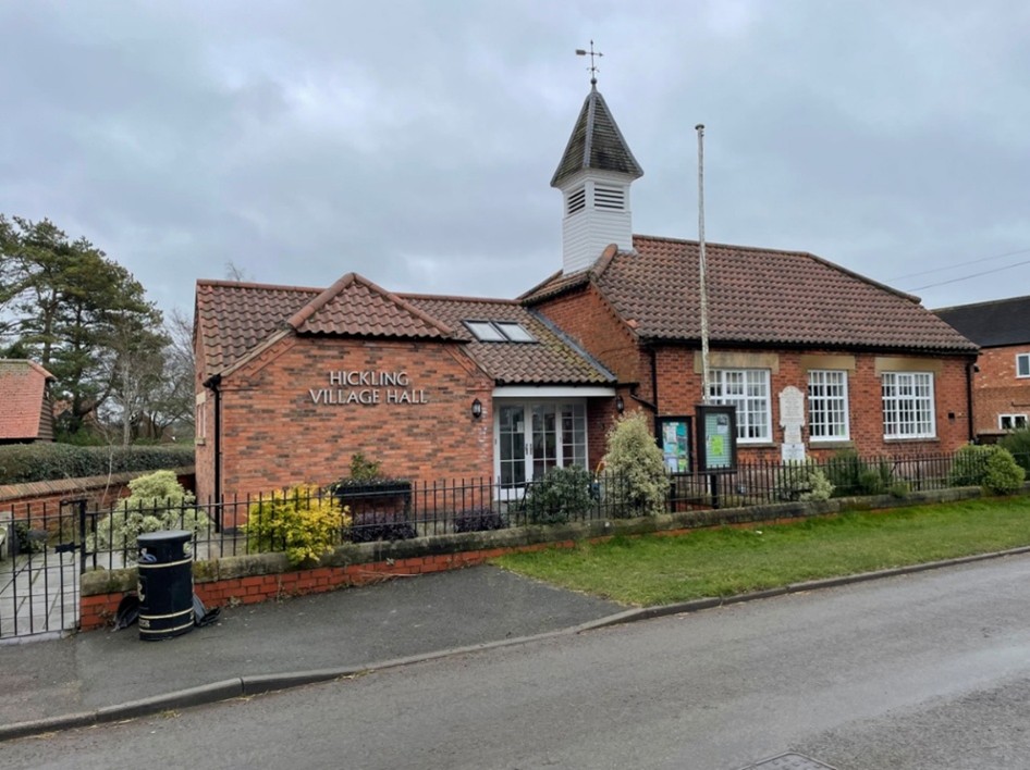
Hickling village hall
Note- there is an optional detour to a local hill, Hickling Standard, to gain a view of the surrounding countryside – Just past the village hall turn right at Long lane, go straight ahead and follow the signs to climb the hill.
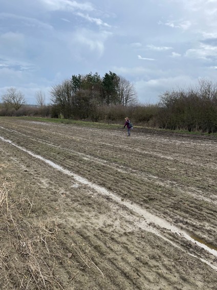
There are several wooden stiles to be crossed. Note – in wet weather the path can be very muddy.
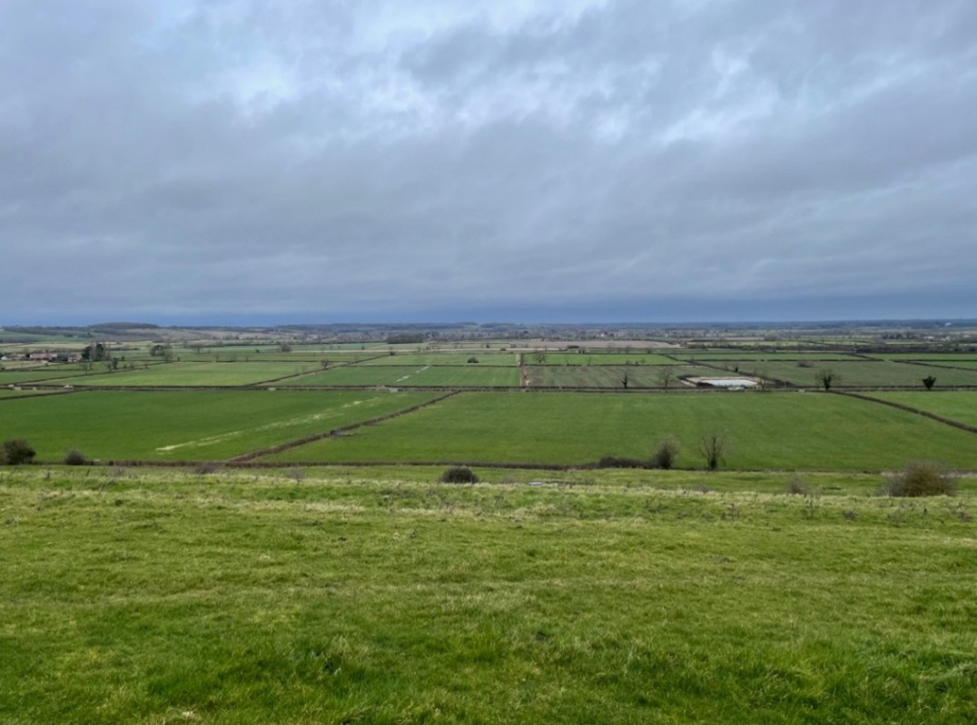
View from Hickling Standard
To do the walk without the detour turn left past the village hall into the road Harles Acres. At the end go through the metal kissing gate and into a large field. Although the OS map shows the footpath running through the field there is a well-trodden pathway to the left-hand edge of the field adjacent to the hedge line.
At the end of the field look for the yellow painted post indicating the exit across a wooden footbridge. After crossing the bridge into the next field cross the field to the next exit which is in the hedge-located to the right-hand side of the tree line. Next, go diagonally left to a signpost and footbridge in the far corner. Crossing the bridge brings you on to a road where you turn right.
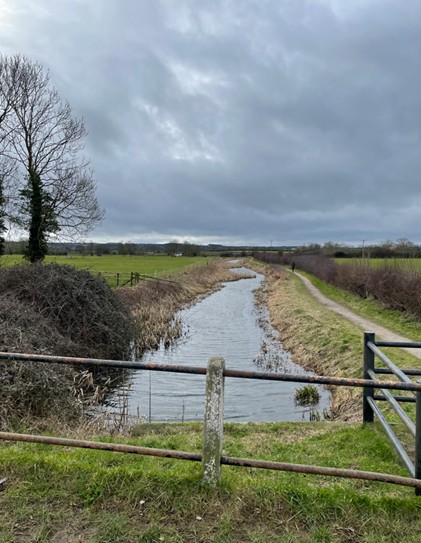
The road crosses a stream and then after about 350 metres it crosses the river Smite, which here forms the Nottinghamshire and Leicestershire county boundary.
After another 350 metres turn left into a concrete road signposted Brook Farm and The Paddocks Stud. The concrete road soon turns into dirt track past Brook Farm – then at The Paddock Stud go to the right-hand side along a grassed pathway. At the end of the grassed pathway go through the kissing gate to enter the field.
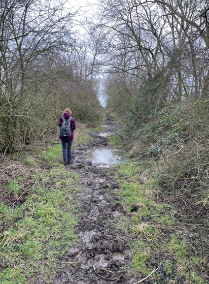
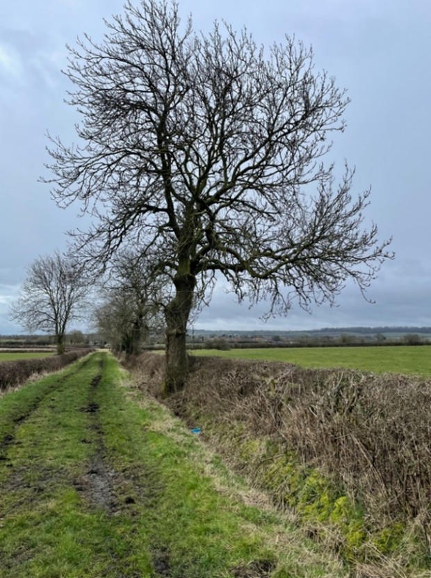
Our route now crosses six fields and a hedge lined path which will almost certainly be muddy in wet weather and are likely to be rutted from use by horses. Look out for the yellow footpath signposts. You will arrive at a road – canal lane.
Cross over Canal lane into a wide grassed track where, as you proceed along, you will see Hose village to the right.
At the end of the track pass through the gate and enter the field. Follow slightly right to a bridge and a yellow marker post in the next hedge. Take the right-hand path by the stream. This then arrives at a farm track. Directly opposite is a very rough grassland area.
Pass through the gate and cross the rough grassland eventually arriving on a stone track into Hose village.
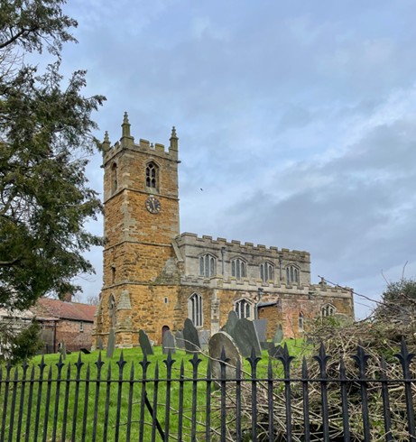
Turning right you walk up the road and shortly will see the church. Turn left up the pathway, called Church Walk, to reach the village green where there are benches to take a break.
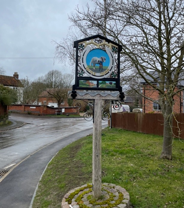
Keep ahead along the road named The Green bearing gradually left downhill onto Canal Lane passing the village sign at the junction. If you wish to visit The Rose and Crown public house turn left on to Bolton Lane just past the village sign.
It is now a quarter of a mile to the picnic site beside the canal at Hose bridge. Over the bridge turn left along the towpath.
The towpath is a nice solid path.
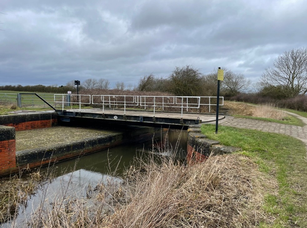
Along the way enjoy a couple of swing bridges.
The restored Clarks bridge
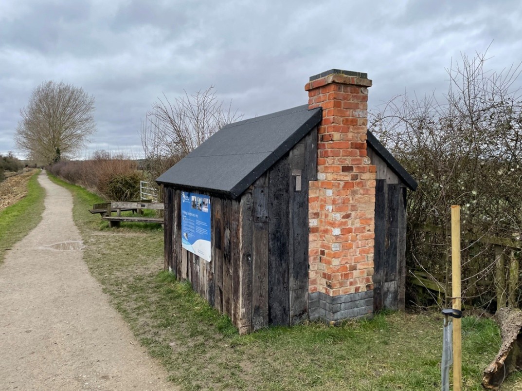
The restored Lengthsman’s hut
Finally arrive back at Hickling basin.