Trent Lock to Bassingfield
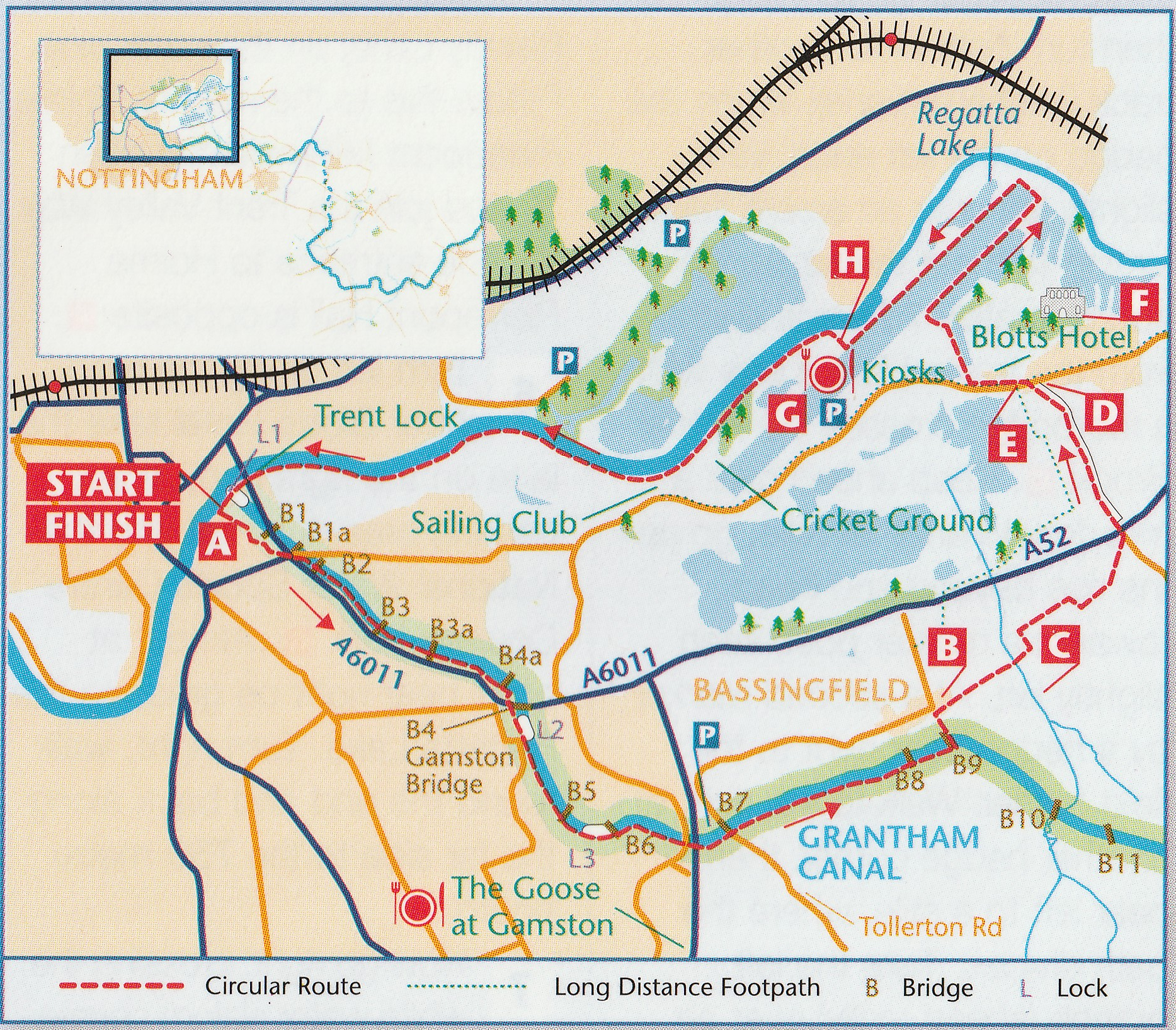
Car Parking – Tollerton Lane car park W3W/// blast.enhancement.tuck
Distance – 8 miles / 13 kilometres
Terrain – Level walking (some urban), meadow and arable land, plus riverside paths.
OS Explorer Map – No. 260 Nottingham
Park at Tollerton Lane Car Park
Cross Tollerton Lane and join the canal towpath.
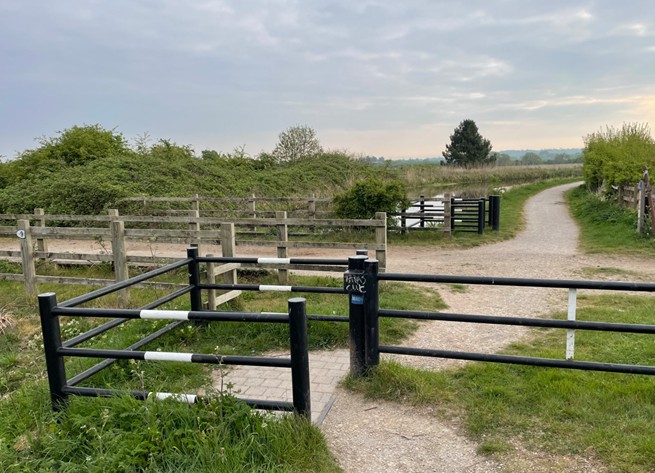
In three quarters of a mile, at a chicane, turn left, cross the canal and follow a track into Bassingfield village. (note – footpath sign is missing)
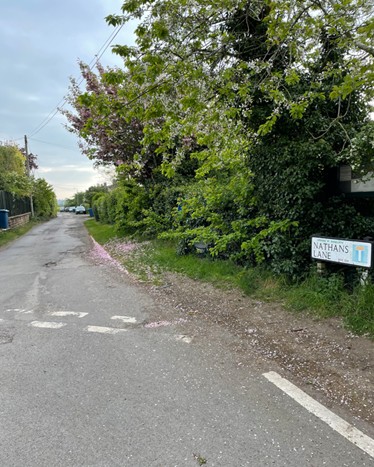
At the end of the track turn right into Nathans Lane and follow that till it ends.
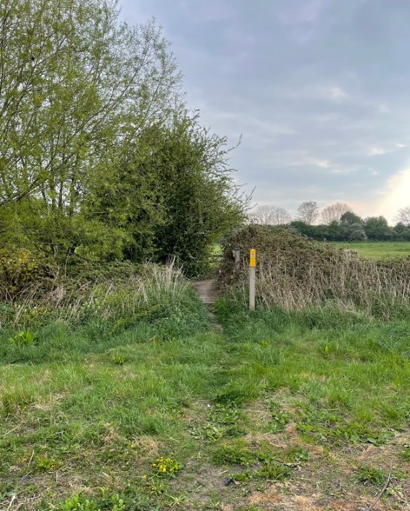
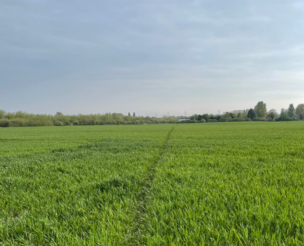
When the hedge on the left ends, veer slightly left following a well-worn path across an arable field to reach the yellow way marker at the far hedge.
Cross the footbridge (there is no longer a stile) over Polser Brook. Keep ahead over a meadow to a metal kissing gate (there is no longer a stile), go through and up the rise beyond and head for a yellow marker post seen slightly left by the hedge. Follow the hedge and you will see another yellow marker post in the corner of the field. Before you reach the post, follow a path to the right and shortly (100 metres) you will see a gap in the hedge by another yellow marker post. Go through the gap and head for the far corner of the arable field where there is a white house by the A52. Exit through the gap. (again no stile)
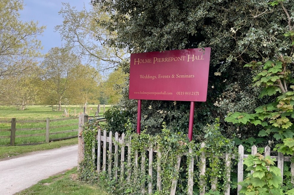
Using the pedestrian crossing, cross over the A52 and enter Sandy Lane through a narrow passageway. Follow the lane, passing fishing lakes to your left, until you reach the road with Holme Pierrepont Millenium Garden to your right and the entrance to Holme Pierrepont Hall in front of you.
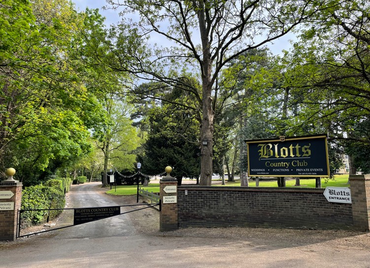
Turn left and follow the road passing the entrance to Blotts Country Club on your right.
Shortly after passing the entrance to Blotts you will see, on your right, a road with a barrier across it.
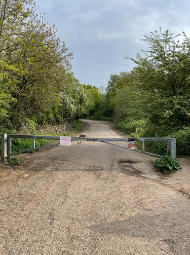
Walk around the barrier and follow the road until it starts to bend right by a small wooden fence.
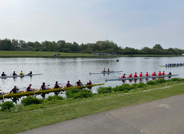
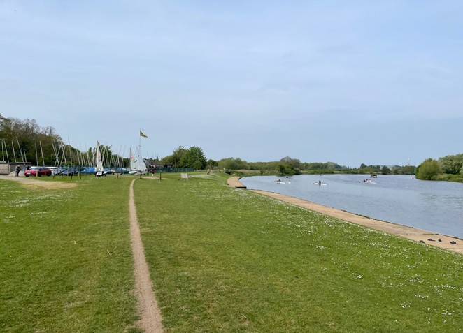
Bear left here and follow the path through a grassed area to reach the Regatta Lake of the National Water Sports Centre Country Park.
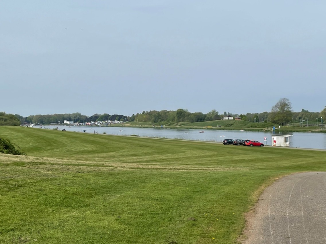
At the lake turn right and follow the path all the way around to the top of the lake and then down on the opposite side to which you arrived.
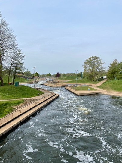
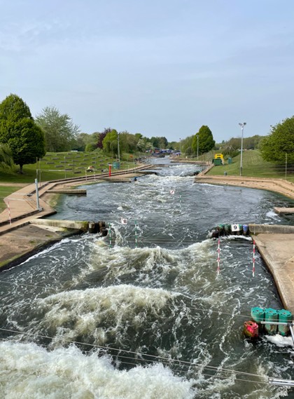
When you reach the 750-meter point you will see a footbridge on your right crossing the white-water slalom course. Cross over this bridge.
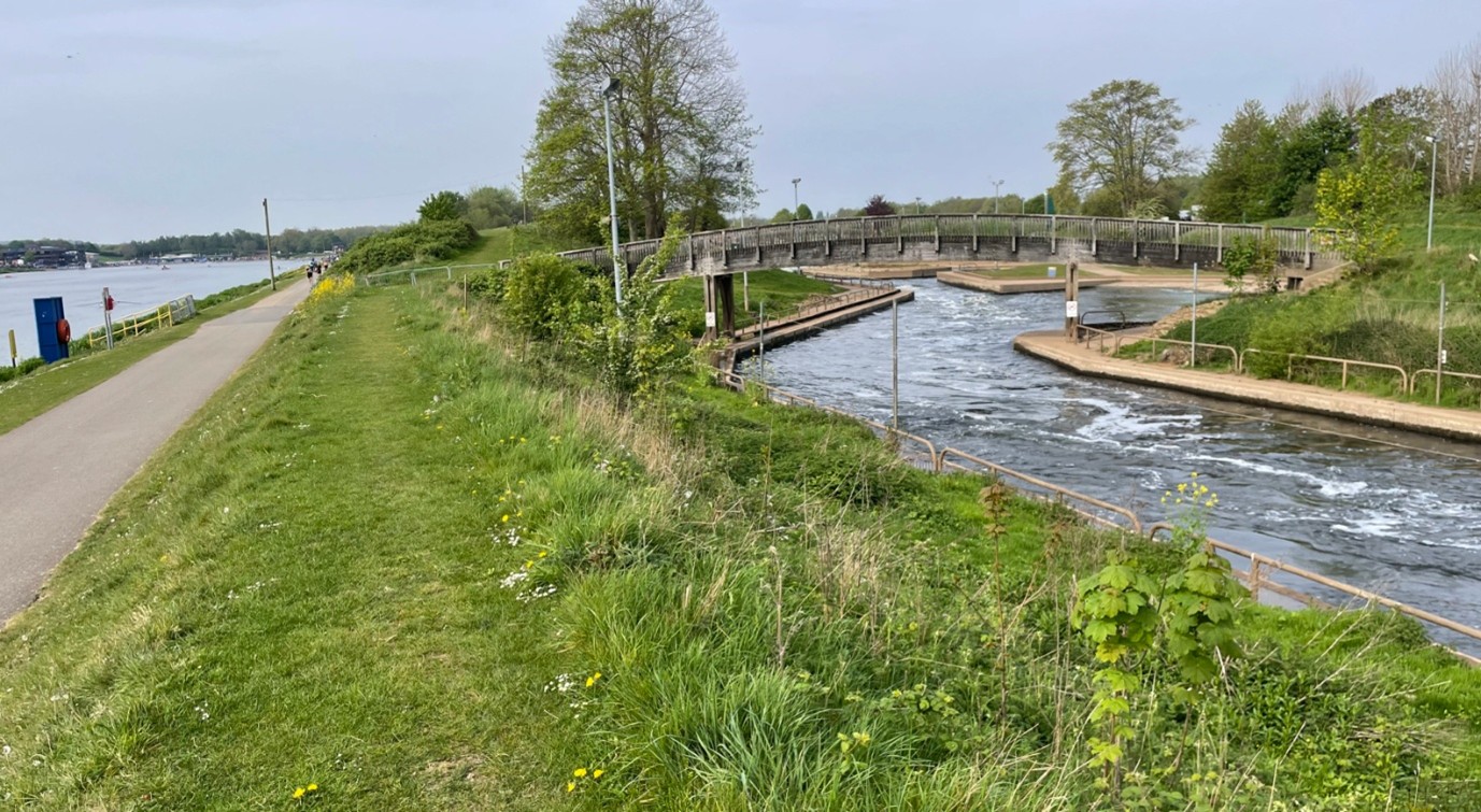
Follow the paths through the course crossing two further bridges along the way.
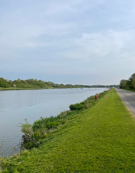
After crossing the third bridge go through car parks and onto the Trent bank. The riverside path passes a cricket club and a sailing club.
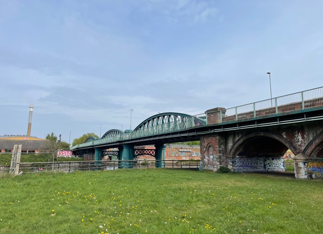
Continue along the river bank, passing meadows, sports grounds eventually passing under Ladybay bridge.
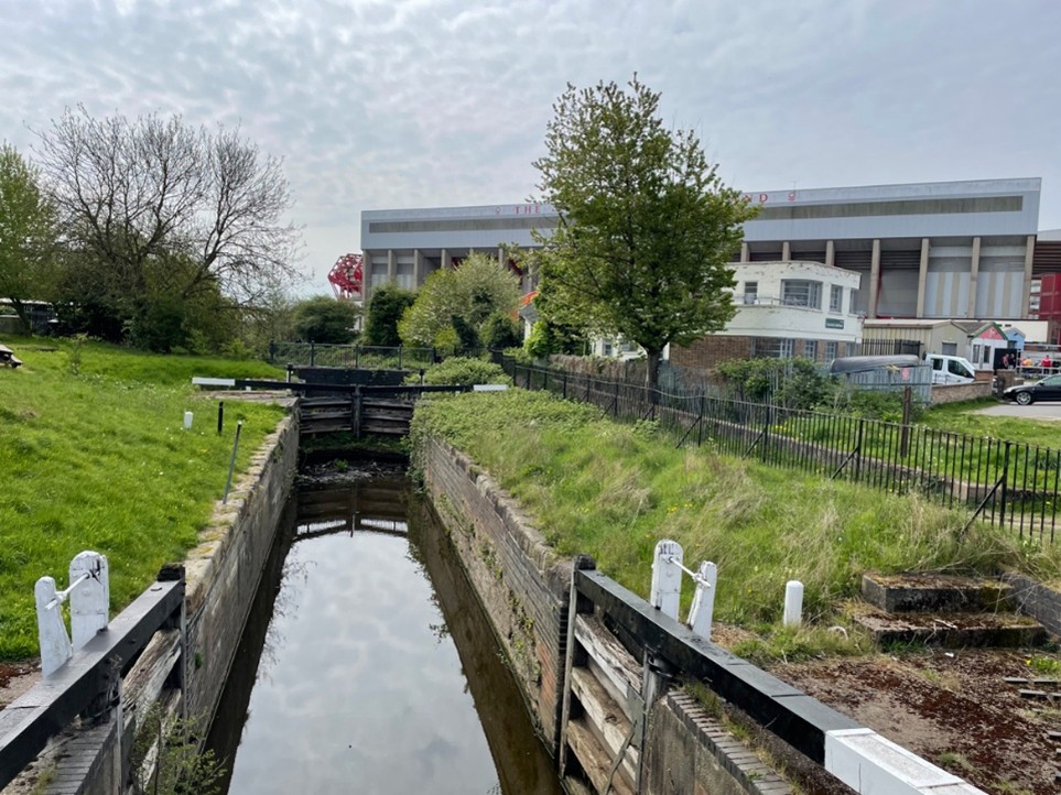
Shortly after passing the Environment Agency Office on your left you will see the start of the Grantham Canal and Trent Lock with Nottingham Forest Football Club close by.
Join the towpath for the short walk to a road. Follow to reach the main road, turn right. Cross to the left at the traffic lights, then go right over Trent Boulevard. Go along Radcliffe Road and join the towpath through a gap in the hedge on your left. Rejoin Radcliffe Road to cross Rutland Road beyond which, shortly, a gap on the left regains the towpath.
At the A6011 cross half the dual carriageway, then pass beneath Gamston Bridge, dropping down steps to the towpath.
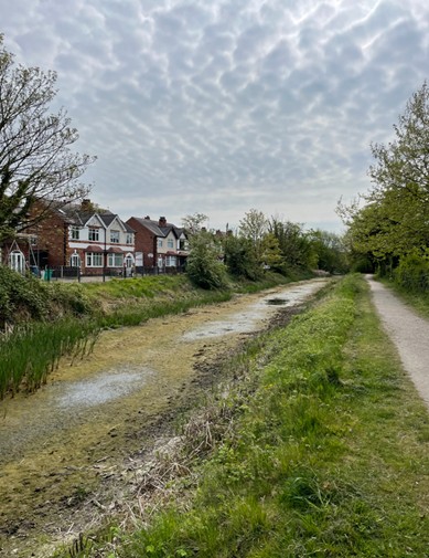
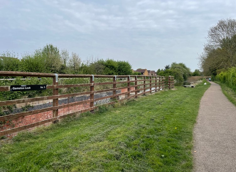
Continue past two locks and past Morrisons Store.
At the end of the towpath, you come to a road which you cross over, and then a path leads to the very busy A52 Lings Bar Road. Carefully cross over – a gap in the hedge opposite is the entrance down steps to the final section of canal.
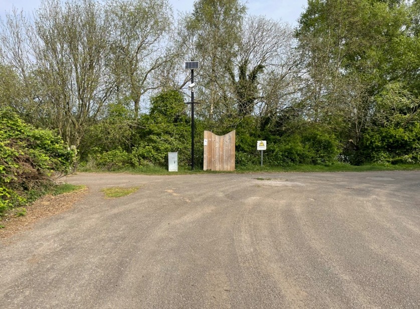
In 150 metres reach Tollerton Lane car park, the end of the walk.